The Georgia Mining Association
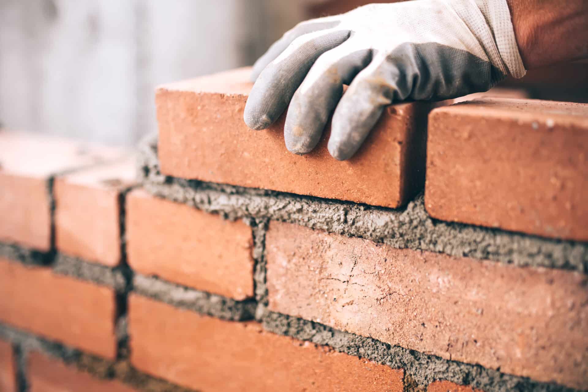
From the sand and aggregate that go into building our country’s roads, homes, and other infrastructure to the specialty minerals that make possible everything from medical implants to space exploration, Georgia’s mining industry drives every sector of our economy.
The Georgia Mining Association (GMA) works as the voice of the mining industry in Georgia, serving:
The mines that extract our state’s natural resources
The companies that turn raw minerals into products that are used in an unbelievable array of consumer goods, building materials, and industrial processes
The supporting industries that create the tools, technologies, and processes that make Georgia mining possible

Through educational resources, political action, outreach, and – above all – building relationships, GMA brings together the people who create value out of Georgia’s minerals.
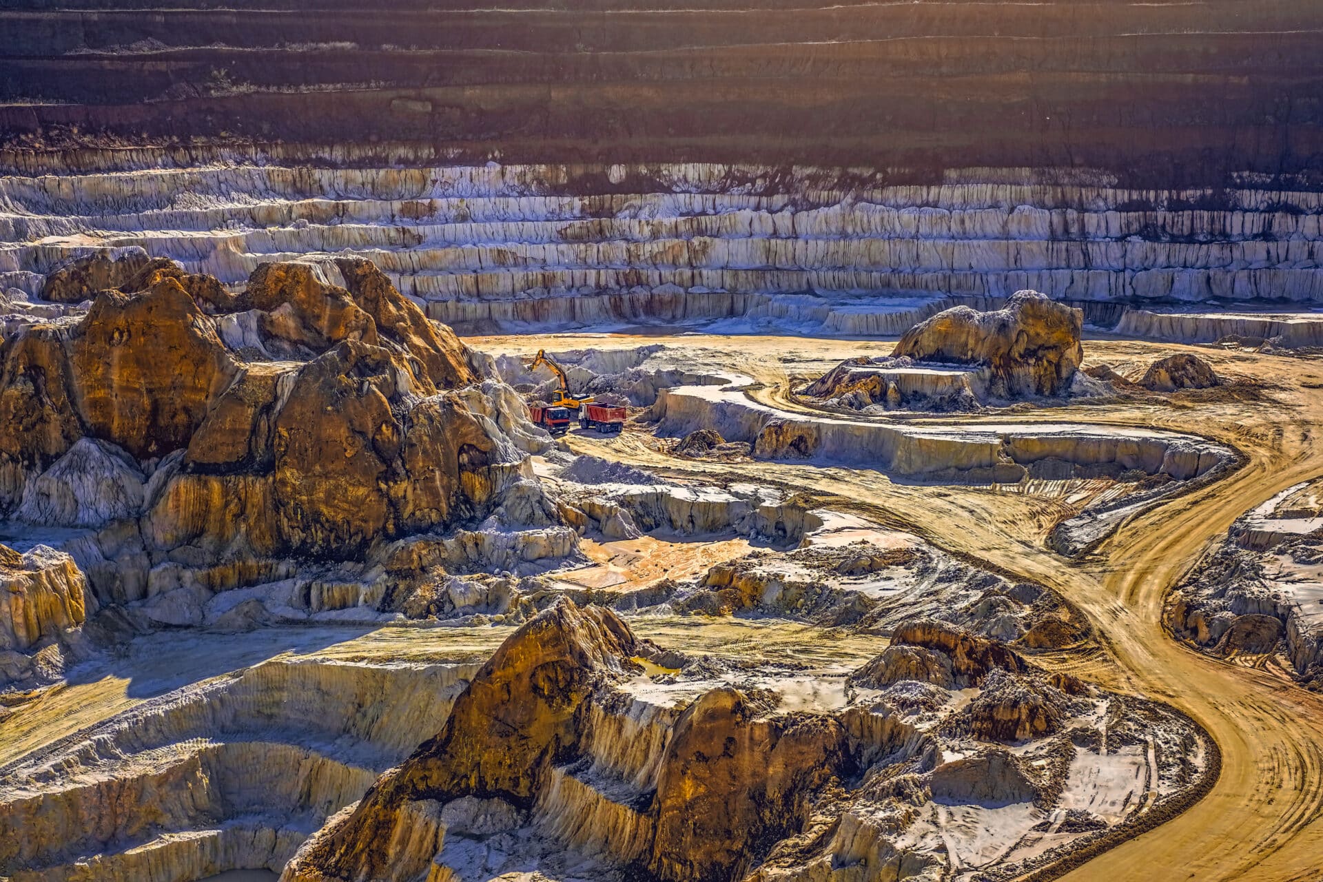
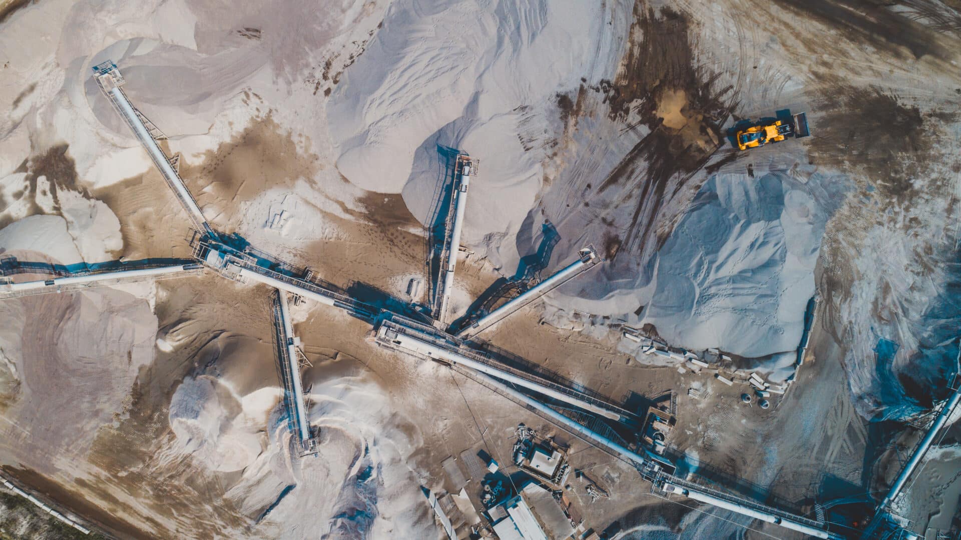
Georgia Minerals: Helping Drive Georgia’s Economy

More than 24 different industrial minerals are found in Georgia.

Minerals are mined in 133 of Georgia’s 159 counties.

The mining industry employs more than 13,000 Georgians in a broad range of professions.

Mining has an annual impact of more than $4 billion on Georgia’s economy.
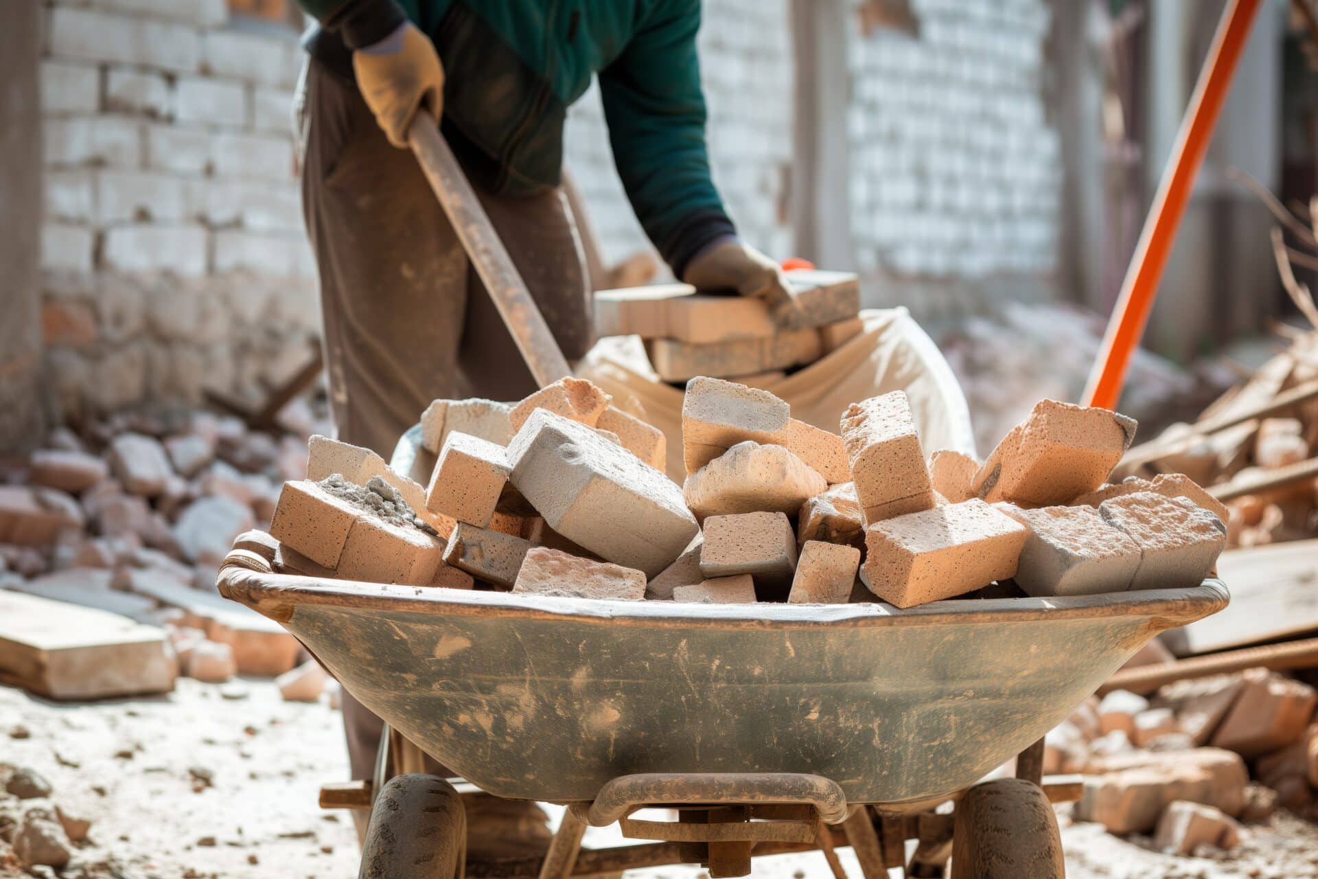
Building Materials

Cosmetics & Pharmaceuticals

Electronics

Housewares & Fixtures

Paints & Other Household Products

Papers & Plastics
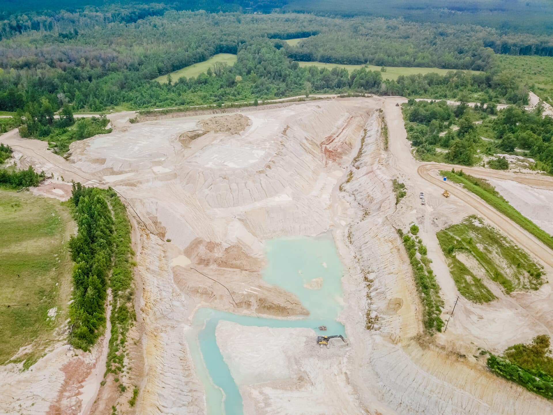
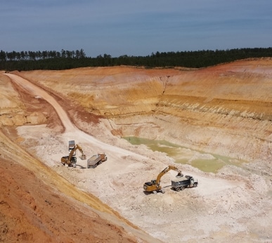
Protecting Georgia’s Resources and People
Environmental Initiatives
GMA is proud to uphold the mining industry’s “Declaration of Reclamation.” Since 1968, Georgia’s worked mines have been carefully and intentionally restored to productive use. This meticulous process involves restoring the land’s contours and planting to make the land suitable for wildlife, forest production, recreation, and agriculture.
Learn More About GMA’s Commitment to Sustainability
Safety Programs
Georgia’s mining industry’s greatest resources are its hardworking, dedicated people. Keeping those people safe is another of GMA’s missions. Thanks in part to the efforts of GMA and our members, mining remains one of the safest industries in the state and the US.

Learn More About Membership in the Georgia Mining Association.
Additional GMA Programs
In addition to the above programs focused on supporting today’s mineral industry in Georgia, GMA programs also work to build a brighter future for mining and supporting industries.
Preparing the Next Generation: The Georgia Mining Foundation
The Georgia Mining Foundation was established to demonstrate our industry’s commitment to the local communities of Georgia, while assisting deserving students in their journey to further their education. What started as a small project with modest goals has flourished to become an incredible program with a vast reach.
Each year, the Foundation provides scholarships for outstanding students who are entering Georgia’s colleges and technical schools. The Foundation has awarded well over $1 million since 1987.
Speaking for Mining, Speaking for Business: GMA Committee for Good Government
The Georgia Mining Association Committee for Good Government (GMACGG) works with legislators in our state General Assembly to support the legislative priorities of the mining industry and business community at large. Since 1984, GMACGG has fostered, encouraged, and promoted good government and enhanced the economic well-being of our state’s mining industry.
Connecting Our Industry: Networking and Events
By far the most valuable resource available to GMA members is other GMA members. Our regular events provide an opportunity to network with other members of the mining industry, share lessons and best practices, and get guidance from those who’ve been there before.
Upcoming Events
Southeastern Minerals Traffic Association 2026 Annual Conference
February 18, 2026The Westin Jekyll Island Beach Resort
Putting Georgia to Work: Mining Industry Job Listings
Georgia’s mining industry is a significant employer, with mines in 133 of Georgia’s 159 counties, many of them rural. Mining jobs cover a broad spectrum of skill levels and educational requirements, and mines and their supporting industries employ laborers, managers, engineers, chemists, and thousands of others. GMA provides job listings for member companies across the state.
Current Job Openings

News and Updates
Articles and updates to keep you informed of what’s happening in Georgia’s mining industry.